Difference between revisions of "HowTo:Create Image Map Overlays"
(→Add Image Map Overlay to Infrastructure) |
(→Add Image Map Overlay to Infrastructure) |
||
| Line 70: | Line 70: | ||
To finally display the image overlay on the client it is necessary to put it right into the application's infrastructure. | To finally display the image overlay on the client it is necessary to put it right into the application's infrastructure. | ||
# Open the according [[CONTEXT]] in the ''[[Relation Editor | Relation Editor]]'' | # Open the according [[CONTEXT]] in the ''[[Relation Editor | Relation Editor]]'' | ||
| − | # Add overlay per drag and drop to ''Infrastructre objects'' ([[SYSREL INFRASTRUCTURE|SYSREL INFRASTRUCTURE]]) | + | # Add overlay per drag and drop to ''"Infrastructre objects"'' ([[SYSREL INFRASTRUCTURE|SYSREL INFRASTRUCTURE]]) |
# Save the object with {{key press|Ctrl|S}} | # Save the object with {{key press|Ctrl|S}} | ||
The image map overlay has been added to your application. | The image map overlay has been added to your application. | ||
Revision as of 13:58, 30 March 2016
Image map overlays will be visualized as base maps in the map activity of the client. These are images (.png) that will be vizualized on the right location, with the right scale and also with the right rotation. Therefore georeferencing of the image is required.
Configuration of the image map overlay requires two steps:
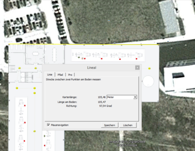
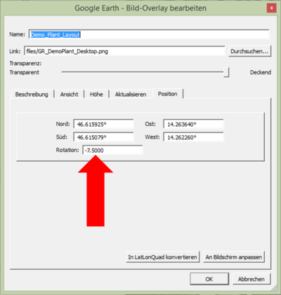
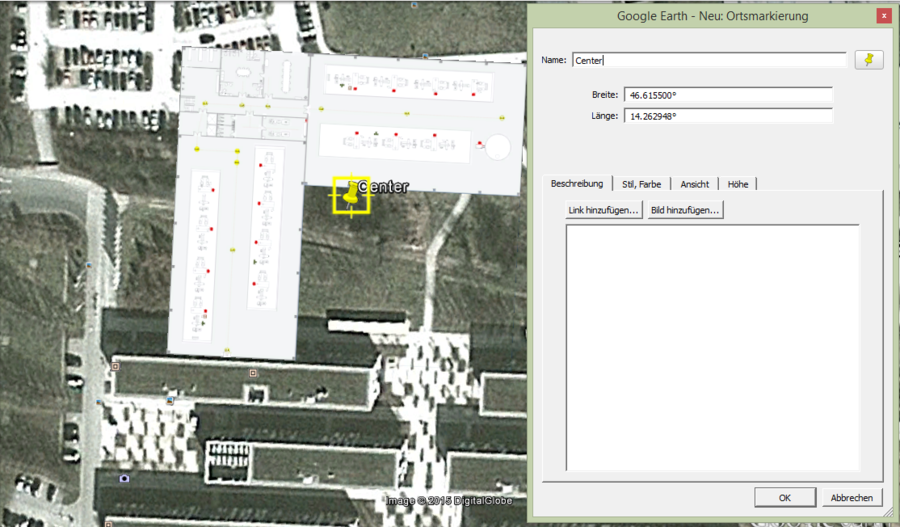
- Georeferencing of the image
- This is necessary to generate the required parameters.
- Prefered Software: Google Earth
- How to add a map overlay to Google Earth is available under Add a Map Overlay (Google How To German)
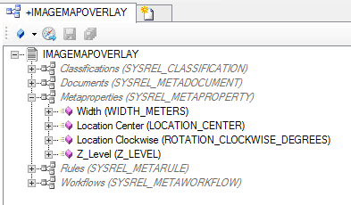
- Configuration of the Image Map Overlay in UBIK Studio
- The Map Overlays objects are based on file documents, hence must implement properties of the classifications Document, Filedocument and MapOverlays


